
Gisburn Forest, situated in the northeastern corner of the Forest of Bowland National Landscape, serves as one of Lancashire’s most versatile outdoor destinations.
While many regional woodlands offer either dense commercial timber or gentle parkland strolling, Gisburn provides a distinct hybrid of rugged moorland fringes and intricate, purpose-built trail networks.
Spanning over 1,200 hectares, it is managed by Forestry England and has evolved from a traditional working forest into a premier hub for mountain biking and endurance walking.
For the uninitiated, the forest can feel vast and occasionally imposing, particularly when the low clouds of the Ribble Valley settle over the spruce canopies.
However, beneath the timber is a meticulously planned system of waymarked routes designed to cater to various skill levels.
Whether you are navigating the technical “Hully Gully” on a mountain bike or seeking the quiet, reflective shores of Stocks Reservoir on foot, the forest offers a sense of scale that is rare in the North West.
This guide provides a practical, experience-based breakdown of the trails, terrain, and logistical considerations necessary for a successful visit to this upland landscape.
Overview of Gisburn Forest
Gisburn Forest is positioned near the village of Slaidburn and the hamlet of Tosside, straddling the border between Lancashire and North Yorkshire.
Unlike the softer, rolling hills of the lower Ribble Valley, the terrain here is defined by its elevation and its relationship with the Forest of Bowland’s gritstone fells.
The landscape is a mix of dense coniferous plantations—predominantly Sitka spruce—interspersed with clear-felled areas that open up expansive views toward Pen-y-ghent and the Yorkshire Dales.
Access and Facilities
The primary gateway to the forest is the Gisburn Forest Hub, located at Stephen Park (postcode BB7 4TS). A secondary, often quieter access point is the Cocklet Hill car park, situated on the road between Slaidburn and Tosside.
- Parking: Both sites operate on a pay-and-display basis (card and mobile payments are standard, though signal can be intermittent).
- The Hub: Here you will find the Gisburn Forest Cafe, which serves as the social heart of the forest. Public toilets and a small bike wash station are located adjacent to the cafe.
- Bike Hire: While independent operators occasionally service the area, it is always advisable to bring your own equipment or check seasonal availability at the Hub before travelling.
The terrain is generally firm underfoot on the main forest tracks, but the singletrack sections—both for walking and cycling—can become exceptionally greasy after rainfall.
This is an upland environment; the weather changes rapidly, and the “Gisburn Mud” is a well-known local phenomenon that requires appropriate footwear and tyre choice.
Walking Trails in Gisburn Forest
Walking in Gisburn is a lesson in contrast. You can move from the industrial atmosphere of a timber harvest site to the profound silence of an ancient-feeling thicket within minutes.
The trails are colour-coded and generally well-signed, though a map is always recommended for the longer loops.
Birch Hills Trail (Easy)
- Distance: 1.5 miles (2.4 km)
- Approximate Time: 45 minutes to 1 hour
- Difficulty: Easy
- Terrain: Wide gravel forest tracks with gentle gradients.
This is the quintessential “leg stretcher” for those who want a taste of the forest without a significant physical commitment. Starting from the Hub, it loops through stands of younger larch and spruce.
It is highly suitable for families with young children and is generally “all-terrain” pram friendly, provided you have decent wheels for gravel.
The Stocks Reservoir Circular (Moderate)
- Distance: 7.5 miles (12 km)
- Approximate Time: 3 to 4 hours
- Difficulty: Moderate
- Terrain: A mix of forest track, meadow paths, and some tarmac road sections.
While technically skirting the edge of the forest proper, this remains the most popular long-distance walk in the area.
The route circumnavigates the largest body of water in the Forest of Bowland.
- Waymarking: Look for the Stocks Reservoir signage.
- Highlights: The bird hide on the northern causeway is excellent for spotting ospreys (seasonally) and various waterfowl. The ruins of the old St James’ Church, relocated when the valley was flooded in the 1930s, add a historical dimension to the hike.
- Note: This trail can be very exposed to wind and rain coming off the fells. Dogs should be kept on leads near the water and through any grazing land on the northern edge.
The Hiddlesdale Loop (Moderate to Challenging)
- Distance: 6 miles (9.6 km)
- Approximate Time: 2.5 hours
- Difficulty: Moderate
- Terrain: Significant elevation changes with some uneven, muddy sections.
This route takes walkers deeper into the interior of the forest, away from the hum of the mountain bike Hub. It climbs toward the higher ridges, offering views over the Ribble Valley toward Pendle Hill.
The descent through Hiddlesdale is particularly atmospheric in the autumn when the bracken turns bronze. This route requires sturdy hiking boots as the tracks can be rutted by forestry vehicles.
Mountain Bike Trails
Gisburn Forest is arguably most famous for its mountain biking. The trail building here—largely supported by the volunteer group Bowland Badgers—is of a high standard, making use of the natural rock and topography to create flow.
The “The 8” (Red Grade)
- Distance: Approximately 11 miles (18 km)
- Skill Level: Intermediate / Advanced
- Terrain: Singletrack, rock gardens, boardwalks, and steep climbs.
This is the flagship red-graded loop. It is designed in a figure-of-eight, allowing riders to split the ride into two smaller loops or tackle the full distance.
- Technical Sections: The “Hully Gully” is the most famous feature—a series of deep, bermed turns that feel like a natural half-pipe. Caution is advised here; it is steep and carries significant momentum.
- The Slab: A massive, inclined gritstone rock face that requires commitment. It looks intimidating but offers immense grip in the dry.
- Climbing: The “Home Baked” climb is a sustained ascent that tests fitness but is rewarded by the flowy descent of “Bigwig.”
- Recommended Bike: A full-suspension trail bike is ideal, though a modern hardtail with a decent fork will handle the red route if the rider has the skill.
Blue Grade Trail (Beginner / Intermediate)
- Distance: 6 miles (9.5 km)
- Skill Level: Beginner
- Terrain: Surfaced singletrack with small rollers and manageable gradients.
This is an excellent introduction to “real” mountain biking. It avoids the high-consequence drops and rocks of the Red route but still offers a sense of adventure. It is perfect for younger teenagers or adults looking to build confidence on off-road surfaces.
Skills Loop and Pump Track
Located near the Hub, the skills loop features small versions of the obstacles found on the main trails (rock gardens, narrow beams).
It is a vital starting point to calibrate your skill level before heading into the deeper forest.
Gisburn Forest: Trail Comparison at a Glance
For a quick reference to help you plan your day, use the table below to compare the official waymarked routes.
| Trail Name | Activity | Distance | Approx. Time | Difficulty | Key Features |
| Birch Hills | Walk | 1.3 miles (2.1 km) | 40 mins | Easy | Tramper-friendly; views over Stocks Reservoir. |
| Eggberry Trail | Walk | 2.2 miles (3.5 km) | 1 hour | Moderate | Historic trackway; views of Park Wood. |
| Dale Head Ramble | Walk | 3.2 miles (5.2 km) | 1.5 hours | Hard | Combines climbs with old railway lines. |
| Stocks Circular | Walk | 8 miles (13 km) | 3-4 hours | Moderate | Complete tour of the reservoir; bird hides. |
| Bottoms Beck | MTB | 5.5 miles (9.5 km) | 1 hour | Blue (Easy) | Ideal for novices; follows old rail lines and berms. |
| The 8 | MTB | 11 miles (18 km) | 2 hours | Red (Difficult) | Technical singletrack; includes the “Slab” and “Hully Gully.” |
| Hope Line | MTB | 0.3 miles (0.5 km) | N/A | Orange (Bike Park) | Downhill focus; jumps, berms, and tabletops. |
Pro-Tips for the Trail
- The “Hully Gully” Factor: On the Red MTB route, “Hully Gully” is graded Black (Severe). If you aren’t comfortable with high-walled berms, use the “Long Way Down” red-graded alternative to bypass it.
- Navigation: While waymarking is generally excellent, the Dale Head Ramble can be confusing where it intersects with cycling tracks. Always look for the orange arrows.
- Connectivity: Be aware that car parking tickets are valid at both the Hub (Stephen Park) and Stocks Reservoir car parks, allowing you to move between trailheads without paying twice.
Family-Friendly and Accessible Routes
Gisburn is increasingly popular with families, and the infrastructure has adapted to reflect this.
- The Hub Picnic Area: There are several picnic benches and plenty of space for children to play within sight of the cafe.
- The Forest Fairies and Dragons: Seasonally, there are often themed trails (such as the Zog or Gruffalo trails) which utilize the shorter, flatter loops near the car park. These are specifically designed for toddlers and balance-bike users.
- Traffic-Free Areas: One of the main draws for families is that the forest tracks are closed to public vehicles. However, parents must remain vigilant as mountain bikers often cross walking paths at high speeds. Always stick to the designated walking routes to minimize conflict.
Scenic Highlights and Viewpoints
Despite the commercial nature of the forest, there are pockets of immense natural beauty that reward those who venture off the main arterial tracks.
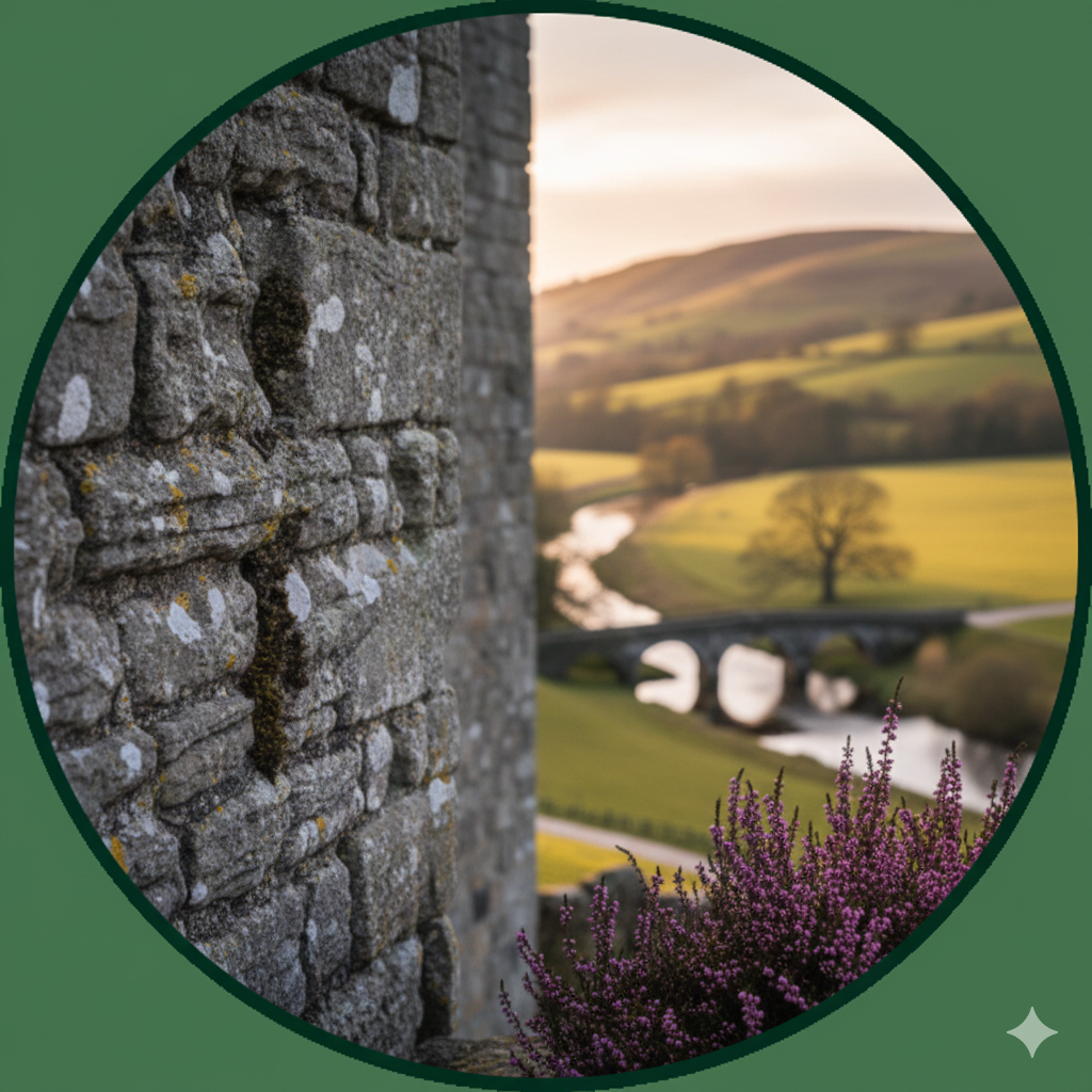
- Cocklet Hill Viewpoint: Located just a short walk from the Cocklet Hill car park, this spot provides one of the best panoramas in the Ribble Valley. On a clear day, you can see the distinctive silhouette of Pendle Hill to the south and the rolling gritstone plateaus of the Bowland Fells to the west.
- Whelp Stone Crag: For those willing to hike to the forest boundary, these gritstone outcrops offer a rugged, “high-country” feel. The wind here can be fierce, but the solitude is unmatched.
- Seasonal Variations: * Spring: Look for bluebells in the smaller patches of deciduous woodland near the forest edges.
- Autumn: The larch trees (one of the few conifers to lose their needles) turn a brilliant gold, contrasting sharply with the dark green of the Sitka spruce.
- Winter: The forest takes on a stark, Scandinavian atmosphere. Frost-covered needles and frozen puddles make for excellent photography, though the trails become significantly more technical.
Planning Your Visit to Gisburn Forest
To ensure a safe and enjoyable trip, a certain amount of preparation is required. This is a rural, upland site, and it should be treated with respect.
Parking and Logistics
- Fees: Parking is approximately £3 for two hours or £5 for the full day. The machines at the Hub take cards, but it is wise to carry some coins as backup in case the digital system fails.
- Mobile Signal: Coverage is extremely poor across most of the forest. Do not rely on live GPS mapping or streaming services. Download your maps for offline use before you arrive.
- Operating Hours: The forest is open 24 hours, but the Hub facilities and cafe typically operate from 10:00 to 16:00 (shorter hours in winter).
Trail Etiquette and Safety
- Shared Use: While many trails are segregated, some forest tracks are used by walkers, cyclists, and horse riders. Cyclists should always give way to walkers and horses. A polite “hello” or a bell ring goes a long way in maintaining the friendly atmosphere Gisburn is known for.
- Footwear: For walking, waterproof hiking boots are essential. Even in summer, the peat-based soil in the undrained sections remains boggy. For cyclists, high-grip flat pedals or cleats are recommended to handle the slippery rock features.
- The Countryside Code: Respect the “Leave No Trace” policy. Take all litter home, as bins are only located at the Hub. Stick to the waymarked trails to protect the ground nesting birds that inhabit the forest fringes.
Nearby Attractions
If you are making a day of it, the surrounding Ribble Valley offers several points of interest that complement a forest visit.
- Slaidburn: Just a 10-minute drive away, this is one of the most picturesque villages in Lancashire. The “Hark to Bounty” inn is a historic spot for a post-walk meal.
- Dunsop Bridge: Officially the geographic centre of Great Britain (according to the OS), this village is a hub for gentler riverside walks along the River Dunsop.
- Bowland Wild Boar Park: Located nearby, this is a great secondary stop for families with younger children, offering animal encounters and tractor rides.
Gisburn Forest remains a cornerstone of the Ribble Valley’s outdoor appeal because it refuses to be just one thing.
It is a high-octane playground for mountain bikers, a tranquil sanctuary for birdwatchers, and a reliable weekend escape for families.
Its strength lies in its scale; even on a busy Sunday, it is possible to find a quiet corner of the Hiddlesdale Loop where the only sound is the wind through the spruce needles.
As you explore these trails, remember that the forest is a living, working environment. Operations change with the seasons, and the landscape is constantly being reshaped by forestry work and conservation efforts.
By choosing the right trail for your ability and coming prepared for the unpredictable Bowland weather, you ensure that Gisburn Forest remains an accessible and exhilarating destination for years to come.