
If you are looking for a walk that offers maximum reward for relatively modest effort, look no further than Jeffery Hill.
Situated just north of Longridge in Lancashire, this prominent gritstone outlier serves as the dramatic southern gateway to the Forest of Bowland Area of Outstanding Natural Beauty (AONB).
As a local walker who has explored nearly every inch of the red rose county, I often find myself returning to Jeffery Hill. Why? Because it offers one of the finest 360-degree panoramic views in the North of England, a taste of true moorland wilderness, and a historic landscape, all accessible via a straightforward, well-defined path.
Whether you are a seasoned hiker looking for a quick leg-stretcher or a family seeking an accessible afternoon adventure, here is everything you need to know about visiting Jeffery Hill.
Intriguing Facts and History: More Than Just a View
Before you put your boots on, it is worth knowing a little bit about the ground you are walking on.
- A Peak with Many Names: Known as Jeffery Hill, Longridge Fell, or on some very old maps, even linked to the wider Thornley Fell. In local dialect, it is often just ‘The Fells’ looking North from Longridge.
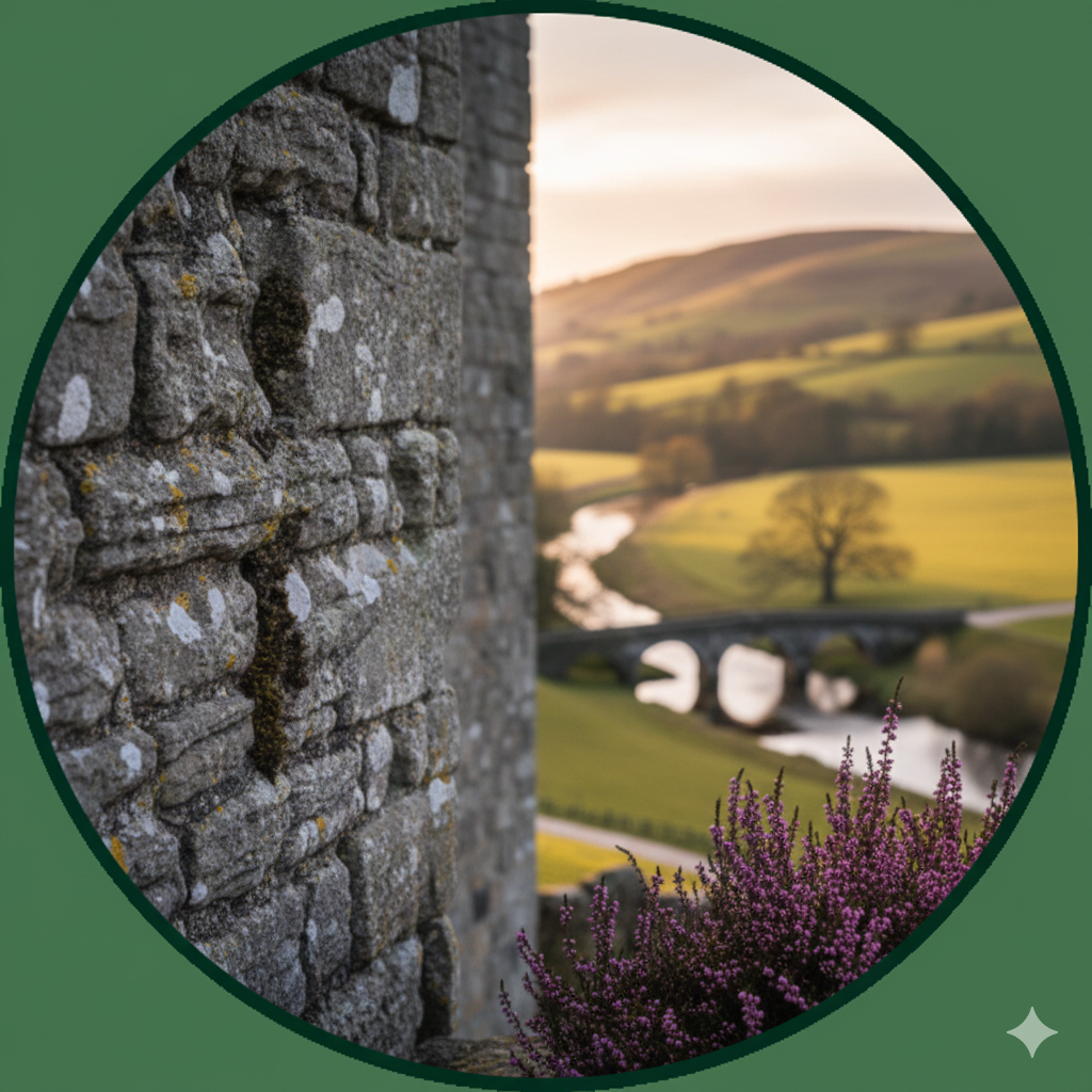
- Gritstone and Romans: Geologically, the hill is formed of Millstone Grit, a hard, coarse sandstone. This rock was highly prized by the Romans, who marched just to the east of here on their way to the fort at Ribchester. They likely used local gritstone for building and millstones.
- The Spine of England Connection: While Jeffery Hill isn’t technically part of the Pennine chain (which lies further east across the Hodder Valley), its wild, heather-clad character is deeply Pennine in feel, sharing the same geology and ecology as its bigger neighbours.
- A Cold War Relic: Heading down from the hill, past Longridge Golf Club, you may spot the remains of a concrete bunker. This was a Royal Observer Corps (ROC) monitoring post during the Cold War, built in the 1960s to monitor for nuclear explosions and radioactive fallout – a silent reminder of a tense chapter in history.
The Visit: The Journey to the Trig Point
1. Arrival and The Parking Area
Your journey begins at the designated parking area at the crest of Forty Acre Lane (the high road leading from Longridge toward Chipping and Whitewell).
The car park is gravel-surfaced, relatively large, and—crucially—free.
Even before you leave the car park, the view to the west across the Ribble Valley and Preston is impressive, on a clear day Blackpool Tower will be visible as you look out towards the Irish Sea. However, save your camera battery—it gets much better.
Facilities Note: Be aware there are no toilets, cafes, or water facilities at the car park. This is the edge of the wilderness, so come prepared.
2. The Walk: Step-by-Step
From the car park, the route is incredibly straightforward, which makes it perfect even in misty conditions.
- Step One: Head to the northern edge of the car park. You will see a large, sturdy wooden kissing gate set into a drystone wall. Go through it.
- Step Two: You are now on the edge of the open moor. Following a very broad, grassy, and somewhat stony track that leads directly up the hill, you cannot miss it. The incline is steady but gentle. In the space of about 20 minutes, you will gain significant height.
- Step Three: The track eventually opens out onto the flatter summit plateau of Thornley Fell. You will reach a drystone wall ( the forest is on the opposite side) turn left and follow the wall uphill. After about half a mile or so, you will see the white, concrete Ordnance Survey Trig Point. At an altitude of approximately 274 metres (900 feet), you have arrived.
- Step Four: You can continue eastwards, following the path. Go through the gate in the wall – turning left will take you into the forest ( note that the tracks are not great and you can get lost if you are not familiar with the area – if you do get lost, head downhill, you will eventually meet roads or a gravel fire track ) Or, you can turn right and take the path down the backside of the wall heading back towards your starting point.
3. The Surrounding Area: Heather and Forests
To the east of the path as you ascend, and stretching out behind the trig point, is vast open moorland.
Depending on the time of year, this area is a vibrant tapestry of purple heather, green bracken, and wiry grasses.
To the west lies a significant block of coniferous forest, part of a wider Bowland plantation.
While the main walk to the trig point stays on the moorland, there are forest tracks accessible by doubling back or exploring further north, offering contrasting shelter and distinct woodland scents of pine and damp earth.
The Views: An Exceptional Panorama
This is the main event. In clear weather, standing at the trig point feels like standing at the helm of Lancashire.
Looking North: Into the Heart of Bowland
Immediately to your north is the dramatic landscape of the Trough of Bowland. You can trace the road winding into the narrow pass flanked by the forbidding, massive shapes of Totridge Fell, Parlick, and Fair Snape Fell.
Beyond these lies the wild Bleasdale Moors.
Looking East: To Yorkshire
On a clear day, cast your gaze eastward across the lush Hodder Valley. In the far distance, rising above the Pennine horizon, you will see the distinct, flat-topped silhouettes of the Yorkshire Three Peaks: Ingleborough and Pen-y-ghent.
Even further afield, the dark edges of the North Yorkshire Moors can sometimes be identified on exceptionally crisp days.
Looking South and West: Coast and City
Turning around, the contrast is stark. You see the Ribble Valley spread out like a model village. Behind it is the urban sprawl of Preston and the North West. On the far horizon is the coastline.
You can easily spot Blackpool Tower and, on a clear evening, the mountains of Snowdonia in North Wales or the southern hills of the Lake District can be seen across Morecambe Bay.
Wildlife: The Sights and Sounds of the Fell
Jeffery Hill is not just about the landscape; it is alive with specialized wildlife. If you walk quietly, you are in for a treat.
1. The Moorland Soundtrack
Keep an ear out for the distinctive call of the Curlew. Their haunting, bubbling whistle is the definitive sound of the Bowland fells.
You may also hear the descending trill of Meadow Pipits and the sharp ‘chack-chack’ of a Stonechat perching atop a gorse bush.
2. Game Birds
As you walk through the heather, you may startle a Red Grouse. They fly low and fast, with a famous chuckling call that sounds like ‘Go back, go back, go back!’.
Pheasant and Red-legged Partridge are also common in the fields below and often stray onto the hill.
3. Birds of Prey
This is excellent hunting ground for raptors. Look skyward, and you will almost certainly see a common Buzzard effortlessly soaring on the thermals.
With more luck, you might see a Kestrel hovering near the forest edge, or a Sparrowhawk performing a lightning-fast raid over the heather.
If you are incredibly lucky, Bowland is a stronghold for the rare Hen Harrier—a true privilege to see.
4. Other Wildlife
Keep an eye out for Brown Hares in the longer grasses, especially at dusk. The hill is also home to common lizards, which sun themselves on the gritstone rocks on warm days.
Summary and Expert Tips
Jeffery Hill is a perfect microcosm of what makes Lancashire walking so special.
It offers a blend of historic intrigue, accessible access, specialized wildlife, and views that can comfortably compete with national parks.
Here are a few local expert tips for your visit:
- When to visit: Late summer (August) is spectacular when the heather turns vibrant purple. Winter offers crisp air and the best visibility, but it is much colder.
- The Weather: This hill is exposed. If it is breezy in Longridge, it will be windy on Jeffery Hill. It can rain when it is dry below. Always bring a windproof/waterproof layer.
- Underfoot: The track is good, but can be muddy in places after rain. Walking boots are recommended, but a sturdy pair of trainers will suffice in dry weather.
- Footwear for exploration: If you decide to explore the heather moor behind the trig point, proper waterproof boots are essential; it is very boggy year-round.
- Dogs: You are welcome to bring dogs, but this is a grazing area for sheep and a nesting ground for moorland birds. You must keep dogs on a lead, especially between March and July.
Enjoy your climb to the top of the world on Jeffery Hill!
A Modern Phenomenon: The Aurora over the Fells
Expert Tip: The Sky at Night In recent years, Jeffery Hill has gained a new reputation as one of Lancashire’s premier “dark sky” vantage points.
On clear nights when solar activity is high, the car park and trig point become a gathering spot for local stargazers and photographers.
Because the hill faces North over the sparsely populated Forest of Bowland, there is very little light pollution to the horizon. This makes it an exceptional location to witness the Northern Lights (Aurora Borealis).
On a clear evening with a strong solar forecast, you can often see the dancing greens and purples of the aurora stretching over the Trough of Bowland—a truly magical sight that bridges the gap between our local landscape and the cosmos.