Where Does the Tolkien Trail Start in Hurst Green, Lancashire?
If you’re planning to walk the famous Tolkien Trail in Lancashire, one of the first things you’ll want to know is exactly where to start.
The Tolkien Trail starts in the centre of Hurst Green, near the War Memorial and the Shireburn Arms, postcode BB7 9QJ. From the War Memorial, head along Warren Fold and onto the public footpaths leading across the fields towards Stonyhurst College.
You may see slightly different starting points mentioned online. Some guides describe the Hurst Green War Memorial as the official start, while others use the Shireburn Arms as the start and finish point. In practical terms, they are only a very short walk apart in the centre of Hurst Green.
The original Lancashire walking guide starts at the War Memorial, while Visit Lancashire describes the 5.5-mile route as starting and finishing at the Shireburn Arms.
Tolkien Trail at a Glance
Start: Hurst Green War Memorial / Shireburn Arms, BB7 9QJ
Distance: Approximately 5.5–7 miles, depending on the route followed
Time: Allow around 2½–3 hours
Difficulty: Easy to moderate
Terrain: Fields, farm tracks, woodland, riverside paths, gravel tracks and short road sections
Suitable for wheelchairs: No, not for the full trail
Suitable for prams/pushchairs: No, not for the full trail
Dogs: Yes, but take care around livestock and keep dogs under close control
Best footwear: Walking boots or sturdy waterproof shoes, particularly after rain
Main highlights: Stonyhurst College, River Hodder, River Ribble, Cromwell’s Bridge, woodland, historic farms and the aqueduct
One reason you will find different distances quoted is that several variations of the Tolkien Trail now circulate. Visit Lancashire’s established route is approximately 5.5 miles, while other popular versions extend the walk to around 6.5–7 miles.
For most visitors, it is sensible to allow around three hours, particularly if you want to stop for photographs, admire the views or explore some of the landmarks along the way.
Why Is It Called the Tolkien Trail?
The trail takes its name from J.R.R. Tolkien, author of The Hobbit and The Lord of the Rings.
Tolkien spent time at Stonyhurst while visiting his son, who studied at the college, and is known to have worked on The Lord of the Rings while staying in the area during the Second World War. The beautiful countryside surrounding Stonyhurst has subsequently become closely associated with the landscapes of Middle-earth.
There are also some intriguing local names.
Hurst Green has a Shire Lane, while the Shireburn family was historically associated with Stonyhurst. These similarities have inevitably led to comparisons with Tolkien’s Shire and the River Shirebourn.
It is difficult to prove exactly which individual places inspired Tolkien, so claims that a particular field, river or building became a specific location in Middle-earth should be treated as part of the area’s Tolkien folklore rather than established fact.
What isn’t in doubt is that Tolkien knew this countryside, spent considerable time here and worked on his writing at Stonyhurst.
And when you’re walking beside the Hodder on a quiet morning, it isn’t difficult to understand why people make the connection.
Where Should I Park for the Tolkien Trail?
The easiest approach is to head for Hurst Green village centre, BB7 9QJ.
The walk begins around the War Memorial, with the Shireburn Arms nearby. Local walking information also recommends Hurst Green as the starting point.
Parking can become busy on sunny weekends and during school holidays, so arrive early if possible and always park considerately. Don’t block residents’ driveways, farm access or narrow lanes.
The Tolkien Trail is an extremely popular Ribble Valley walk, so Hurst Green can be considerably busier than you might expect from such a small village.
How Difficult Is the Tolkien Trail?
For a reasonably fit walker, the Tolkien Trail is best described as easy to moderate.
You don’t need to be an experienced hillwalker and there are no major mountain climbs. However, describing it simply as an “easy walk” can give the wrong impression.
This is a proper countryside walk.
You’ll encounter fields, woodland paths, riverside tracks, stiles, gates, uneven surfaces and several inclines. There are also sections that can become very muddy.
One detailed route guide describes the trail as fairly flat and not particularly difficult but warns that it can become muddy after rain.
The final stages back towards Hurst Green can also feel surprisingly energetic after several miles of walking.
Allow extra time if you’re walking with younger children or anyone who isn’t accustomed to countryside walks.
What Is the Terrain Like?
One of the pleasures of the Tolkien Trail is how often the scenery changes.
You’ll walk across open farmland, along farm and gravel tracks, through woodland, beside the River Hodder and River Ribble, and across sections of uneven countryside.
There are also stiles and small bridges.
In dry summer weather, much of the trail can be straightforward underfoot. After prolonged rain, however, conditions can change dramatically.
Expect mud.
Some riverside sections and fields can become particularly wet and slippery, so walking boots or waterproof walking shoes are strongly recommended outside prolonged dry periods.
This isn’t really a walk for your pristine white trainers.
Is the Tolkien Trail Suitable for Wheelchairs?
No. The full Tolkien Trail is not wheelchair accessible.
This is an important point because photographs of the route can make some sections appear much easier than they actually are.
The established route includes numerous stiles, uneven fields, woodland paths, steps, bridges and rough riverside terrain. The original route instructions repeatedly require walkers to cross stiles, including several close together around the riverside and aqueduct sections.
These obstacles make completing the full circular trail with a wheelchair unrealistic.
Visitors with limited mobility can still enjoy parts of Hurst Green and the Stonyhurst area, but should not set off expecting the complete Tolkien Trail to provide an accessible route.
Can You Take a Pram or Pushchair on the Tolkien Trail?
For the same reason, we wouldn’t recommend attempting the full Tolkien Trail with a conventional pram or pushchair.
Even an all-terrain buggy is going to encounter difficulties because of the stiles and other obstacles.
A popular independent guide to the route specifically notes that the number of stiles means it isn’t suitable for prams.
If you’re visiting with a baby or toddler, a child carrier is likely to be considerably more practical than a pushchair, provided you’re comfortable using one over uneven countryside.
Is the Tolkien Trail Suitable for Disabled People?
This depends greatly on an individual’s mobility and requirements.
There are accessible places to enjoy around Hurst Green, but the complete Tolkien Trail should not be described as an accessible walk.
Someone who can comfortably negotiate stiles and uneven ground but has other disabilities may find the route perfectly manageable. Someone who relies upon a wheelchair or walking aid is likely to encounter significant barriers.
If accessibility is essential, plan a shorter visit around the village and accessible roads rather than relying upon the main circular trail.
Interestingly, the local Tolkien Trail website also lists a separate short walk of around a mile to a mile and a half which it describes as suitable for families, pushchairs and wheelchairs. This is not the full Tolkien Trail, but could be worth investigating as an alternative.
What Will You See on the Tolkien Trail?
The Tolkien connection might bring people to Hurst Green, but the countryside is what makes the walk worth doing even if you’ve never read a page of The Lord of the Rings.
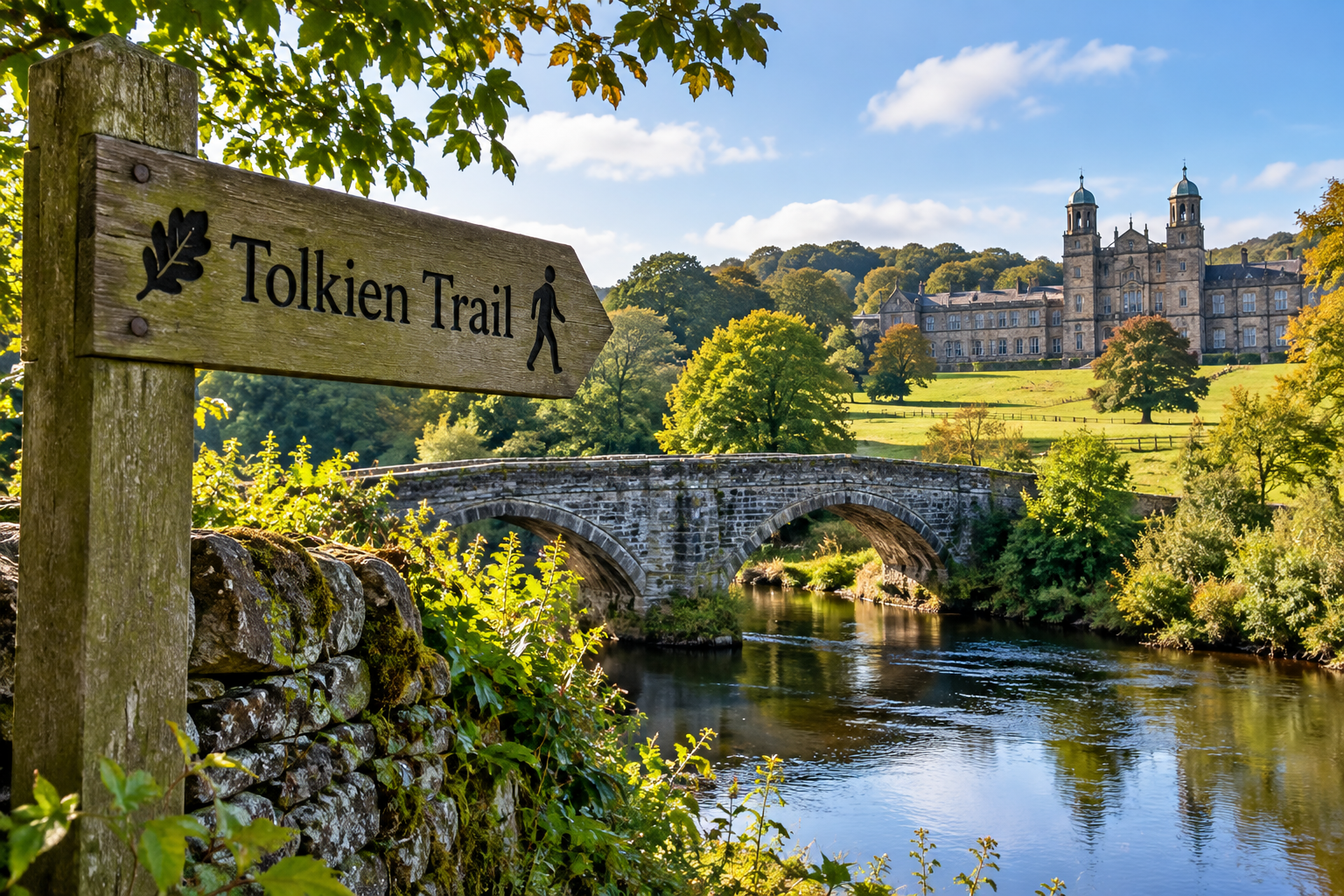
Stonyhurst College
One of the first major landmarks is Stonyhurst College.
The grand historic buildings provide one of the most memorable views on the walk, particularly as you approach across the surrounding countryside.
Tolkien’s connection with Stonyhurst is at the heart of the trail, and Visit Lancashire notes that he spent time working on The Lord of the Rings at the college.
Remember that Stonyhurst is a working school rather than a visitor attraction along the trail, so walkers should stick to the designated public routes and respect signs and private areas.
Stonyhurst Observatory
The route also passes Stonyhurst’s historic observatory.
Astronomy and meteorology have a long history at Stonyhurst, adding another fascinating dimension to a walk that is already packed with history.
River Hodder
The trail eventually brings you down towards the beautiful River Hodder.
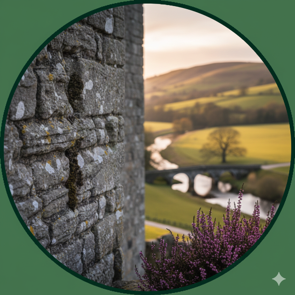
This is arguably where the walk starts to feel most “Tolkienesque”: wooded riverbanks, old tracks, stone bridges and the surrounding Lancashire countryside create exactly the sort of landscape that people imagine when thinking of the Shire.
Cromwell’s Bridge
One of the most historically interesting landmarks is Cromwell’s Bridge, an old packhorse bridge over the River Hodder.
The bridge is traditionally associated with Oliver Cromwell and his army’s movements through Lancashire during the Civil War campaign of 1648.
It’s one of the highlights of the route and well worth stopping to photograph.
Take care around the nearby road.
The Meeting of the Rivers
The route explores countryside around the Hodder, Ribble and Calder, giving walkers some beautiful riverside scenery.
As the walk progresses, you’ll spend a substantial amount of time following the Ribble.
Wildlife varies with the seasons, but keep an eye out for herons and other riverside birds.
Hacking Hall
Across the river you’ll encounter views towards historic Hacking Hall, another reminder of how much history is packed into this relatively small part of the Ribble Valley.
A ferry once operated in this area, transporting people across the Ribble.
The Aqueduct
Another unmistakable landmark is the impressive three-arched aqueduct spanning the Ribble.
It makes an excellent photographic stop and is one of those unexpected structures that makes the Tolkien Trail much more varied than a simple riverside walk.
Can Children Walk the Tolkien Trail?
Older children who are comfortable walking five or six miles should generally enjoy it, especially if you turn the Tolkien connection into part of the adventure.
For younger children, consider whether they’re comfortable walking for around three hours over countryside terrain.
Remember that there are rivers, roads, livestock, woodland sections and uneven ground along the route, so children will require appropriate supervision.
The full route is not suitable for taking a pram as a backup when little legs get tired.
Can Dogs Walk the Tolkien Trail?
Yes, the Tolkien Trail is a popular dog walk and we’ve previously included it among our favourite dog walks in the Ribble Valley.
However, this is farming country.
Keep dogs under close control and use a lead whenever livestock are nearby. You’ll potentially encounter sheep and cattle along the route, depending on the season and which fields are in use.
There are also stiles to negotiate, something worth considering if you have a very large, elderly or less agile dog.
What Should I Wear?
In dry weather, sturdy walking shoes should be sufficient.
For much of the year, however, walking boots are the safer choice.
Lancashire weather and riverside fields are a combination almost guaranteed to produce mud sooner or later.
We’d suggest bringing:
- Waterproof walking boots or sturdy shoes
- A waterproof jacket
- Water
- Snacks
- A fully charged phone
- A downloaded route map or GPX file
In warmer weather, remember sun protection too. Several stretches are exposed with relatively little shade.
Is the Tolkien Trail Signposted?
Don’t assume you can simply arrive and follow Tolkien Trail signs for the entire walk.
The route follows public footpaths, farm tracks and rights of way, and directions aren’t always obvious at every junction.
Downloading the route beforehand is strongly recommended. Visit Lancashire provides both downloadable trail information and a GPX file.
Having the route available offline is particularly useful because staring at an empty field wondering which distant gate you’re supposed to be aiming for is a very different type of Tolkien adventure.
How Long Does the Tolkien Trail Take?
Most walkers should allow around 2½ to 3 hours.
Visit Lancashire gives approximately 2½ hours for its 5.5-mile route, while the longer version promoted locally takes approximately 2½–3 hours.
If you’re visiting for the first time, we’d allow three hours.
Add more if you’re walking with children, taking photographs or simply want to enjoy the riverside rather than marching around as quickly as possible.
When Is the Best Time to Walk the Tolkien Trail?
The Tolkien Trail can be walked throughout the year, but late spring through to early autumn usually provides the easiest conditions.
After extended periods of rain, sections can become very muddy.
Autumn has its own appeal when the woodland changes colour, while a crisp winter morning can make the Ribble Valley look spectacular.
Just remember that daylight disappears quickly in winter. This isn’t a walk we’d recommend starting late in the afternoon without checking sunset times and conditions first.
Food and Drink After the Walk
One of the advantages of starting in Hurst Green is being able to finish your walk back in the village.
The Shireburn Arms Hotel & Restaurant sits conveniently close to the beginning and end of the route, making it an obvious place for refreshments after several hours of walking.
There are other refreshment options around Hurst Green too, so it’s worth making a little time to explore the village rather than immediately jumping back into the car.
Is the Tolkien Trail Worth Doing?
Absolutely.
You don’t need to be a Tolkien fan to appreciate this walk.
The literary connection gives the trail its name and a wonderful story, but the combination of Stonyhurst College, ancient bridges, woodland, farmland and the Rivers Hodder and Ribble makes it one of the Ribble Valley’s most interesting circular walks in its own right.
For Tolkien fans, there’s the added pleasure of walking through countryside the author knew while imagining how these woods, rivers and rolling green fields might have influenced his vision of Middle-earth.
Just don’t arrive expecting a themed attraction.
There are no hobbit holes or Middle-earth sets waiting around the corner.
What you get instead is something much better: a beautiful stretch of real Lancashire countryside with a genuine connection to one of the world’s most celebrated authors.
Frequently Asked Questions
Where exactly does the Tolkien Trail start?
The traditional starting point is Hurst Green War Memorial in the centre of the village, close to the Shireburn Arms, BB7 9QJ. From the memorial, take Warren Fold and follow the route towards Stonyhurst College.
How long is the Tolkien Trail?
The commonly published route is approximately 5.5 miles, although alternative versions extend the walk to around 6.5–7 miles.
How long does it take?
Allow approximately 2½ to 3 hours for a comfortable walk.
Is the Tolkien Trail hard?
It’s generally an easy-to-moderate countryside walk, rather than a strenuous hike. However, mud, stiles, uneven ground and a few inclines make it more challenging than a surfaced park walk.
Is the Tolkien Trail wheelchair friendly?
No. The full trail contains numerous stiles and sections of uneven countryside and is not wheelchair accessible.
Can I take a pushchair on the Tolkien Trail?
We wouldn’t recommend it. Stiles and rough terrain make the full circular route unsuitable for most prams and pushchairs.
Is the Tolkien Trail free?
Yes. There is no charge to walk the public footpaths making up the Tolkien Trail.
Do I need walking boots?
They’re strongly recommended after rain and throughout wetter parts of the year. In prolonged dry weather, sturdy walking shoes may be sufficient.
Can I take my dog?
Yes, but keep your dog under close control and use a lead around livestock.
Before You Set Off
Check the weather, wear appropriate footwear and download a map of the route before leaving home.
Most importantly, don’t rush it.
Stop beside the river. Look back towards Stonyhurst. Explore Cromwell’s Bridge. Listen to the woodland and take in the views across the Ribble Valley.
Whether or not these exact places became the Shire, it’s easy to see why this corner of Lancashire continues to capture the imagination.
Starting point for your sat nav: Hurst Green, Clitheroe, Lancashire, BB7 9QJ.